Hello everyone,
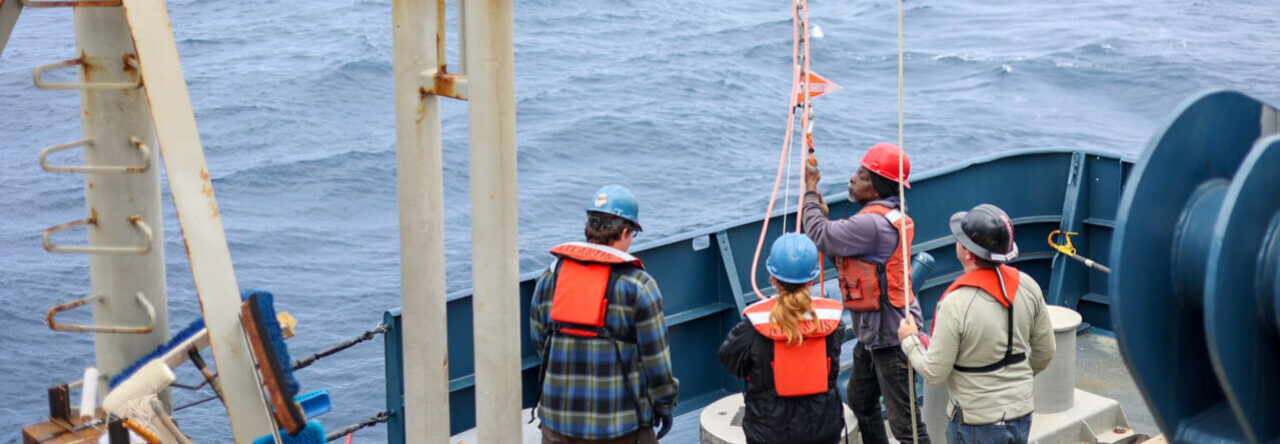
I arrived to New York where the boat is docked on July 28th. The very next day we lost power on the ship. It was due to some sort of blown circut on the dock that was supplying power to the ship. The crew was called into action and within a matter of 4 hours it was solved with the boat up and running again. We waited the majority of the next day making sure we were set and did not have any issues before leaving the dock. Later that evening, we were on our way! It has now been a week aboard the R/V Marcus Langseth and things have been going well. There have been several thunderstorms throughout the week but we have been lucky for the most part with moderate 2-5 meter seas. I am working along side the science party to map the sea floor using the seafloor information system (SIS) along with multibeam sonar. The whole objective of this mission is to redefine where the shelf is. Around the entire continent you are given 200 nautical miles from the shoreline out to do as you wish. So for example, if you had any natural occuring resources in that area, such as oil, it would be legal to take. However, there are exceptions to this, if you can prove that the shelf is indeed further than 200 nautical miles out then you can extend the boundries up to a maximum of 350 nautical miles. That is the goal of this mision, to prove that the shelf is further back. In order to prove this, we are running north and south in paralell lines to use the multibeam sonar and make a map of the sea floor. There are indicators that we can use to help determine that the shelf is further. Just as there are river deltas, there are underwater deltas. The underwater deltas are formed the same way, sediment is carried across the top and deposited over the edge of a steep slope. These deltas can be seen on the multibeam data and will help lead to the edge of the shelf.
Stay tuned for more information next week!
-Cameron