It is the third week into the cruise! So far it has been twenty-one days out at sea, we have traveled a combined distance of 4,941 nautical miles, and are sitting in roughly 3 miles deep of water (16,404 ft.). It has been a smooth journey thus far with the exception of a detour, which I will talk about later in this blog.
We have been making a lot of progress towards our goal of redefining the continental shelf. The south side had been finished in a good amount of time. We even saved a couple of days worth of work by cutting the last two lines off because we predicted that there wasn’t going to be any data worth our time in those areas. Then, we did our cross line to move over to the north side. When I say “cross line” you may be thinking of the boat traversing perpendicular to its original lines, which is right. What is the purpose of that? Well, by preforming a cross line we are not only moving perpendicular across our planned route but we are also using that line to continue collecting data that we need to help refine the data we have already collected. In other words, when we do a cross line we are crossing over the lines we have already done. This allows us to confirm those lines because the parallel lines have a slight overlay with each line. The cross line eliminates those overlay lines and clears up the data.
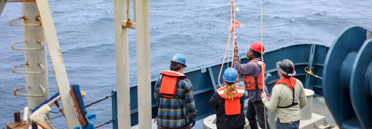
As soon as we finished the first two lines of the north side, a crewmember claimed that they were having chest pains. So, without any hesitation, the captain turned the boat around and we headed to shore. Once we were about a mile off shore, we deployed our rescue boat off the side of the ship and put the crewmember on it. They drove out to meet up with another small boat that was going to bring him to shore and then to a hospital. Our rescue boat came back to the ship and was hoisted back on. This whole transfer took a matter of twenty minutes. I was shocked at how fast it was over.
This journey has been very interesting thus far! I can’t wait till the last week when we complete out mission!